
Why Planes Fly Indirect Routes Instead of Straight Lines
When you look at a flight path on a map, especially between continents, you might wonder: why is the plane making such a long detour? Shouldn’t it just fly in a straight line from one city to another? It seems counterintuitive that a flight from New York to Tokyo would curve over Alaska or even the Arctic. Yet this is exactly what happens, and there are several important reasons behind it — from geography to safety and efficiency.
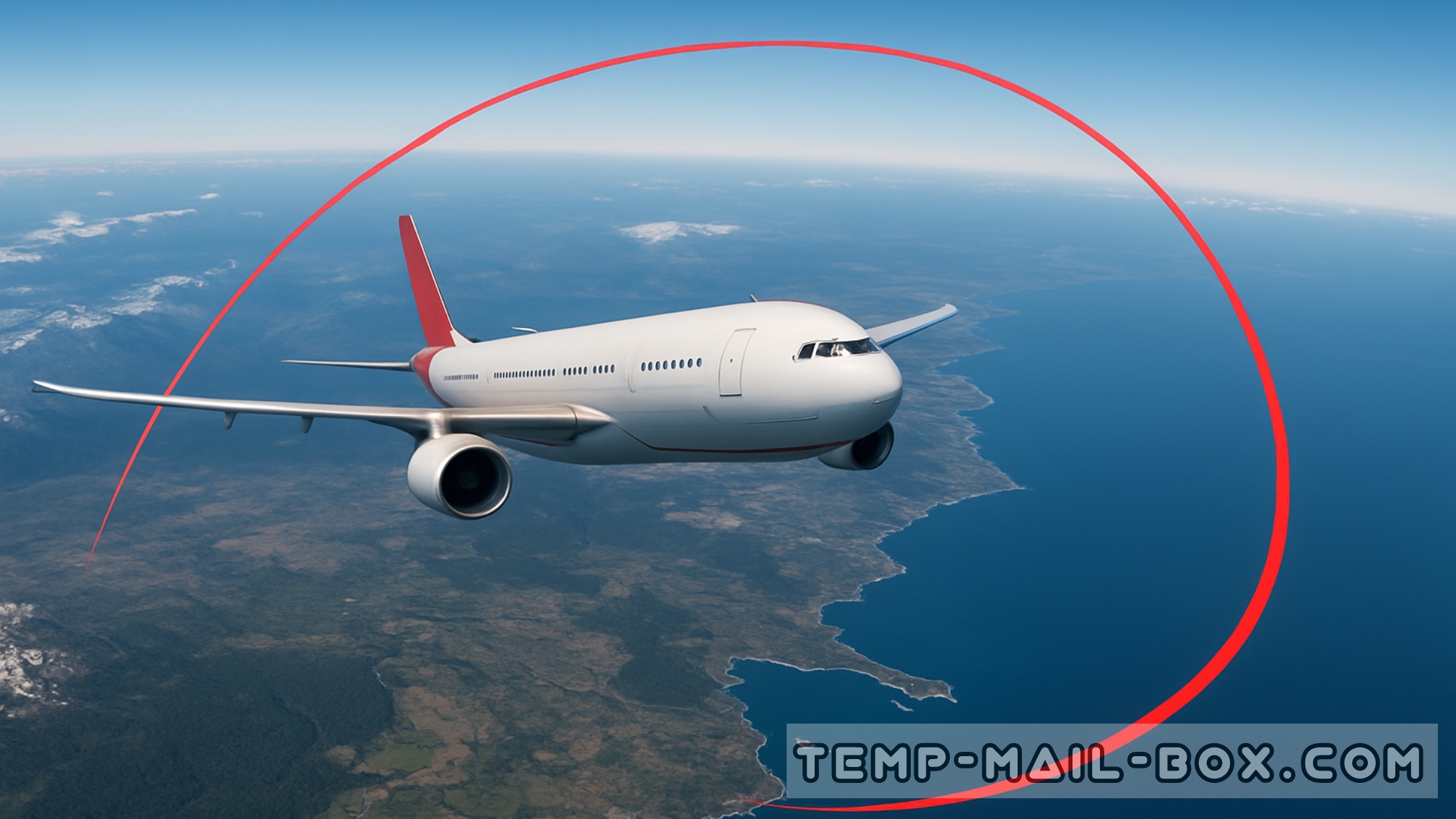
The Great Circle Route
The Earth is a sphere, not a flat map. The shortest distance between two points on a sphere is called a great circle route. On a globe, this path appears as a straight line. However, when projected onto a 2D map, especially the common Mercator projection, this line looks curved. This illusion tricks the eye into thinking planes are flying unnecessarily long routes, when in fact, they are following the most efficient path possible.
For example, a flight from Los Angeles to London doesn’t go directly east but instead curves north over Canada, Greenland, and Iceland. This arc is the shortest possible route over the spherical surface of the Earth.
Weather and Wind Patterns
Jet streams, powerful high-altitude air currents, can significantly affect flight times. Pilots and flight planners often adjust routes to catch tailwinds from jet streams, reducing fuel consumption and flight time. Conversely, they avoid strong headwinds that could slow the aircraft and increase fuel usage.
For instance, flights from North America to Europe often take advantage of the eastward-moving jet stream, leading to quicker outbound trips. On the return journey, they take a more southerly or northerly route to dodge those same winds.
Airspace Restrictions and Political Boundaries
Planes must adhere to international regulations and airspace restrictions. Not all airspace is freely accessible. Some countries may restrict flights over certain regions due to military activity, political tensions, or safety concerns. For example, civilian aircraft often avoid flying over conflict zones or politically sensitive areas.
This sometimes results in detours that seem inefficient but are necessary to comply with international aviation rules and keep passengers safe.
Safety and Emergency Planning
Flight paths are designed to ensure that, in the event of an emergency, the aircraft can divert to the nearest suitable airport. Over large oceanic or polar regions, detours might bring the aircraft closer to alternate landing sites.
Moreover, some aircraft are certified for ETOPS (Extended-range Twin-engine Operational Performance Standards), allowing them to fly further from diversion airports, but even so, flight planners must calculate routes with safety as a top priority.
Terrain and Weather Avoidance
Flying over certain terrains such as high mountains (e.g., the Himalayas) or severe weather systems (like hurricanes or thunderstorms) may not be safe or practical. Airlines plan routes that keep aircraft away from hazardous conditions even if it adds distance.
Efficiency Over Simplicity
All these factors — the shape of the Earth, atmospheric conditions, political borders, safety, and weather — combine to form a complex equation that determines flight paths. What may look like a detour is often a carefully calculated decision that saves time, fuel, and money, while ensuring the highest safety standards.
So next time you see a curved line on your flight tracker, know that it’s not a detour, but the smartest and safest way to fly.